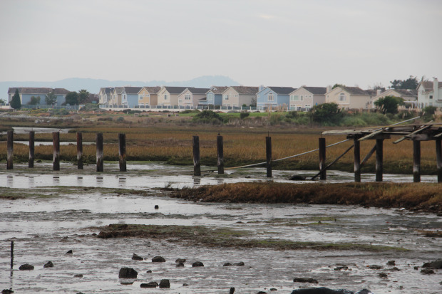
When the rains come and the tides rise, they take a toll on the Bay Area’s more than half-a-century-old storm channels, and one day, places like Richmond may be in peril.
The combination of heavy storms and inadequate runoff channels have at times covered blocks in up to five feet of water, drowning streets, yards and cars. Even worse, because sea levels are rising, homes on the bay waterfront are at risk of being overtaken due to a lack of marshland barrier in tidal areas.
But a possible remedy is now in the works: a joint federal and local program called Flood Control 2.0. More than two years in the making, the multi-partner $2.5-million effort is EPA funded and focused on restoring stream and wetland habitats and improving shoreline resilience. Led by the San Francisco Estuary Partnership, a 20-year-old coalition of public agencies and non-profits, Flood Control 2.0 also aims to redesign and fortify the flood channels that carry storm water from creeks and streams into the bay for better water flow and ecological use.
“There is a way to provide flood control to keep people’s houses safe and to provide habitat,” said Brenda Goeden, sediment program manager at the San Francisco Bay Conservation and Development Commission, one of the project partners.
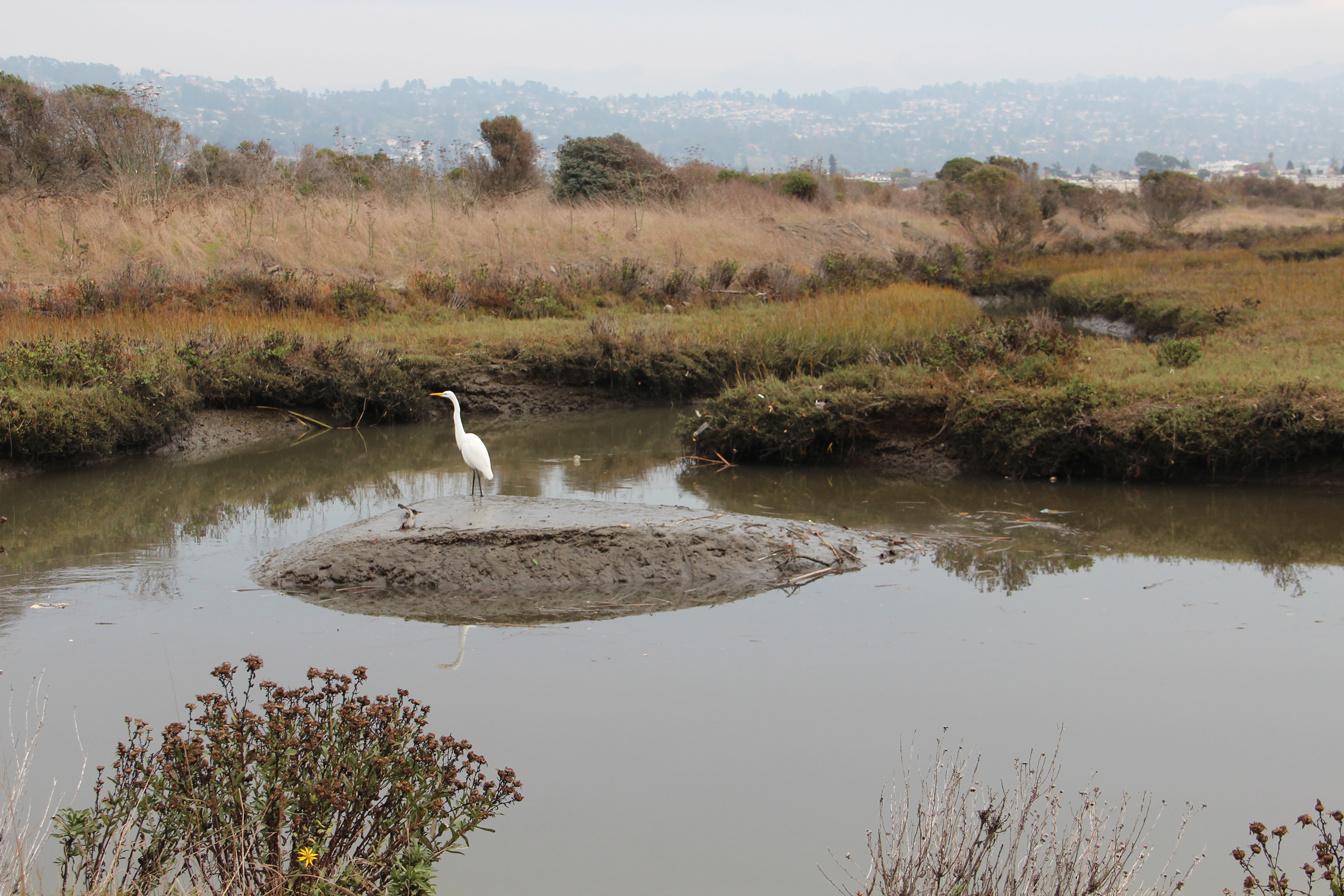
The San Francisco Estuary Partnership’s Flood 2.0 project aims not only to protect coastline development but also to rebuild sensitive wildlife habitat. (photo by Ted Andersen)
Most of the flood control channels around the Bay Area were built between 1930 and 1950 and no longer work well. The culprit is sediment buildup that has forced the Army Corps of Engineers and its partners to raise the banks of the levees, resulting in a greater gap between the flowing water and the adjacent low-lying bay lands. And higher levees and lower flood plains can be a dangerous combination, the flooded neighborhoods of New Orleans during Hurricane Katrina being a tragic example.
One aspect of improving storm channels involves removing accumulated sand and mud and using it to bolster marshes. The points where creeks enter the bay are ecologically important for delivering this sediment from local watersheds into marshes to sustain the tidal flats as sea level rises. These areas that once provided habitat for birds and fish have largely been converted to narrow concrete flood control channels that do not distribute mud and sand the way they once did.
At present, Flood Control 2.0 is limited to three pilot locations: San Francisquito Creek, which flows by Menlo Park and Palo Alto, and lower Novato and Walnut creeks. Efforts are expected to eventually include comprehensive data and recommendations for all the storm channels in the Bay Area, according to Scott Dusterhoff, lead geomorphologist at the San Francisco Estuary Institute, one of the project partners based in Richmond.
Since dredging is an expensive and continual process for flood control managers, the project includes developing a regional sediment management plan, Goeden said. But more work this year is focused solely on planning and assessing the needs of flood channels rather than rebuilding them.
“It’s an examination of how we work things,” Goeden said, referring to what will happen in the coming months and years. “It’s not going to do anything for this year’s flood control issues.”
Bay marshes not only act as important buffers to rising sea levels, but they also can store carbon from the air and filter pollution before it gets to the bay, according to the estuary institute’s Dusterhoff. Using dredged sediment from storm channels to build these areas up will be crucial to protecting both shoreline property and wildlife habitat.
“We have to find ways to get back bayland area any way we can,” he said. “As sea level rises, if we don’t do anything, baylands will continue disappearing.”
No comments:
Post a Comment